Connor McKnight

Portfolios / Architecture and Engineering Occupations

Cartographer

45 pictures, films and books for The North China Times and Kaitu

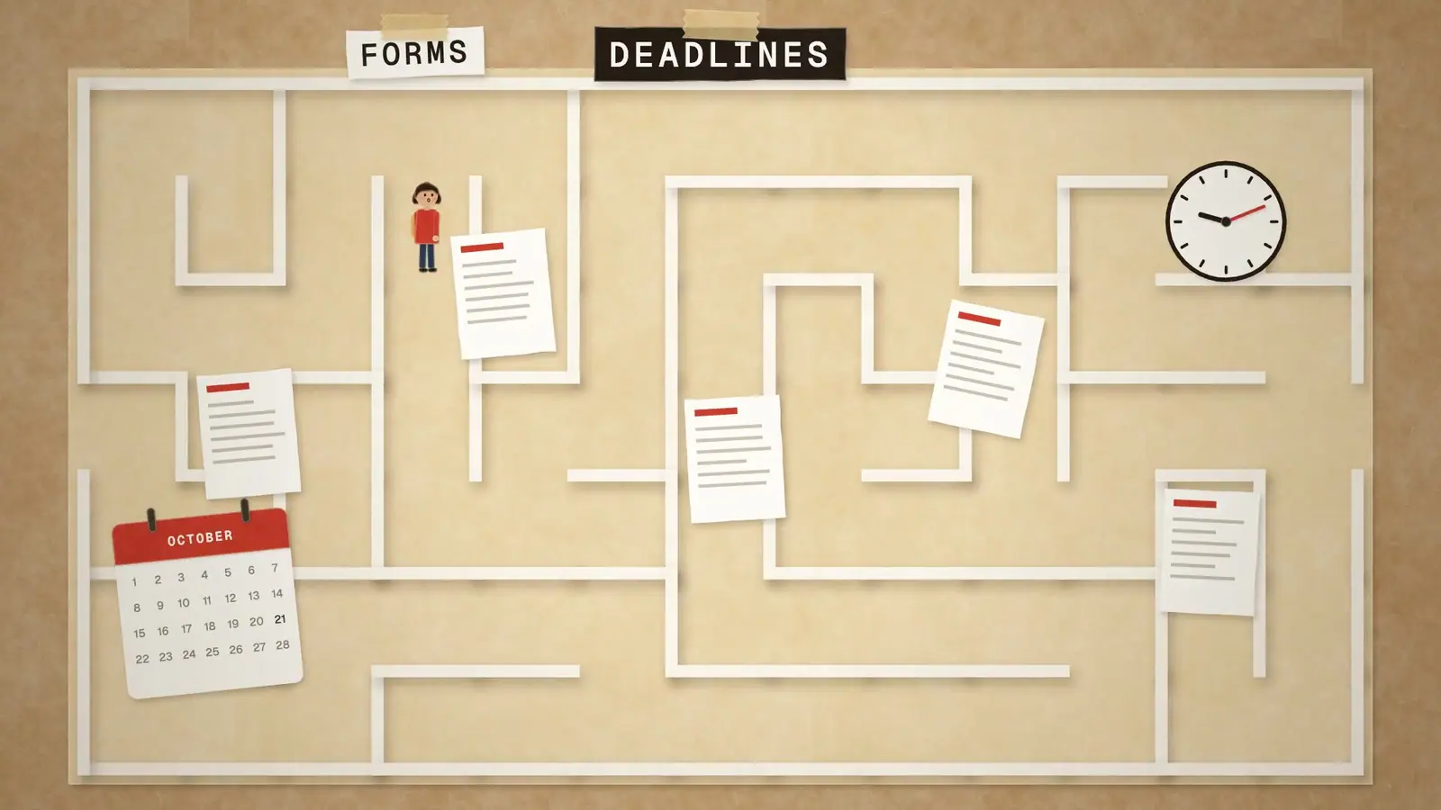
Map plates, time-zone and locator maps and big-number images for The North China Times, and the maps of Kaitu’s papercraft world.

Object plate for the cartographer portfolio: a folded map, a ruler and a pencil.
About this occupationCartographer · what the work involves, and what his work shows

Research, study, and prepare maps and other spatial data in digital or graphic form for one or more purposes, such as legal, social, political, educational, and design purposes. May work with Geographic Information Systems (GIS). May design and evaluate algorithms, data structures, and user interfaces for GIS and mapping systems. May collect, analyze, and interpret geographic information provided by geodetic surveys, aerial photographs, and satellite data.

The graphics and images on FourSkill, Kaitu and The North China Times are his.

Tasks his work shows

  1. Determine map content and layout, as well as production specifications such as scale, size, projection, and colors, and direct production to ensure that specifications are followed.11 pieces · Information design, Cartography
The other 13 tasks of the occupation
  1. Compile data required for map preparation, including aerial photographs, survey notes, records, reports, and original maps.
  2. Delineate aerial photographic detail, such as control points, hydrography, topography, and cultural features, using precision stereoplotting apparatus or drafting instruments.
  3. Prepare and alter trace maps, charts, tables, detailed drawings, and three-dimensional optical models of terrain using stereoscopic plotting and computer graphics equipment.
  4. Study legal records to establish boundaries of local, national, and international properties.
  5. Inspect final compositions to ensure completeness and accuracy.
  6. Revise existing maps and charts, making all necessary corrections and adjustments.
  7. Identify, scale, and orient geodetic points, elevations, and other planimetric or topographic features, applying standard mathematical formulas.
  8. Collect information about specific features of the Earth, using aerial photography and other digital remote sensing techniques.
  9. Examine and analyze data from ground surveys, reports, aerial photographs, and satellite images to prepare topographic maps, aerial-photograph mosaics, and related charts.
  10. Build and update digital databases.
  11. Determine guidelines that specify which source material is acceptable for use.
  12. Select aerial photographic and remote sensing techniques and plotting equipment needed to meet required standards of accuracy.
  13. Travel over photographed areas to observe, identify, record, and verify all relevant features.

The skills it calls for most

  • Reading Comprehension
  • Critical Thinking
  • Writing
  • Active Listening
  • Active Learning
  • Monitoring
  • Speaking
  • Complex Problem Solving

The knowledge it calls for most

  • Geography · his work draws on it
  • Computers and Electronics
  • English Language
  • Design · his work draws on it
  • Mathematics · his work draws on it
  • Customer and Personal Service
  • Engineering and Technology
  • Education and Training
Field
Architecture and Engineering Occupations
Skills shown
Information design, Cartography